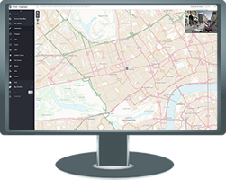
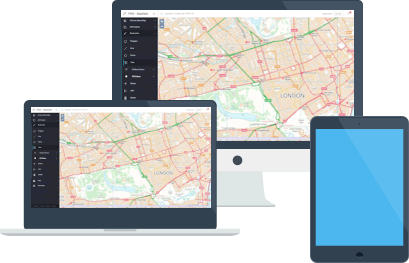
Sign up to try out free Open mapping from Ordnance Survey.
Annotate, save and share. Upgrade to Pro if you need professional mapping or Aerial imagery.
A suite of drawing and annotation tools to give your map professional punch.
Output as high resolution PDF, Jpeg.
Save maps for free reprints.


